Heritage, Volume 9, Number 2, Spring 1991 Page: 21
30 p. : ill. ; 28 cm.View a full description of this periodical.
Extracted Text
The following text was automatically extracted from the image on this page using optical character recognition software:
The Sam Kaufman
Archaeological
Site
An Endangered
Legacy
By Jim Bruseth and
Toni Turner Bruseth
L ~ ~ ~ ~ ~ ~ ~ ~ ~ ~~.~ X
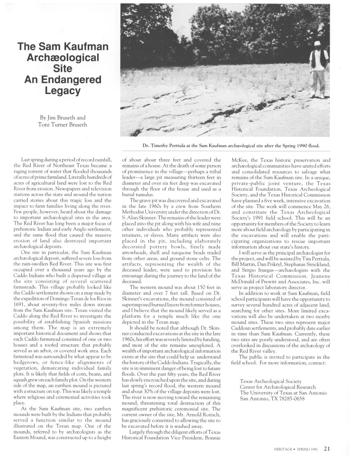
Dr. Timothy Perttula at the Sam Kaufman archaeological site after the Spring 1990 flood.
Last spring during a period of record rainfall,
the Red River of Northeast Texas became a
raging torrent of water that flooded thousands
of acres of prime farmland. Literally hundreds of
acres of agricultural land were lost to the Red
River from erosion. Newspapers and television
stations across the state and around the nation
carried stories about this tragic loss and the
impact to farm families living along the river.
Few people, however, heard about the damage
to important archaeological sites in the area.
The Red River has long been a major focus of
prehistoric Indian and early Anglo settlement,
and the same flood that caused the massive
erosion of land also destroyed important
archaeological deposits.
One site in particular, the Sam Kaufman
archaeological deposit, suffered severe loss from
the rain-swollen Red River. This site was first
occupied over a thousand years ago by the
Caddo Indians who built a dispersed village at
the site consisting of several scattered
farmsteads. This village probably looked like
the Caddo settlement shown on a map made by
the expedition of Domingo Teran de los Rios in
1691, about seventy-five miles down stream
from the Sam Kaufman site. Teran visited the
Caddo along the Red River to investigate the
possibility of establishing Spanish missions
among them. The map is an extremely
important historical document and shows that
each Caddo farmstead consisted of one or two
houses and a roofed structure that -probably
served as an arbor, or covered work area. Each
farmstead was surrounded by what appear to be
hedgerows, or fence-like alignments of
vegetation, demarcating individual family
plots. It is likely that fields of corn, beans, and
squash grew on each family plot. On the western
side of the map, an earthen mound is pictured
with a structure on top. This was likely a temple
where religious and ceremonial activities took
place.
At the Sam Kaufman site, two earthen
mounds were built by the Indians that probably
served a function similar to the mound
illustrated on the Teran map. One of the
mounds, referred to by archaeologists as the
Eastern Mound, was constructed up to a height
of about about three feet and covered the
remains of a house. At the death of some person
of prominence in the village-perhaps a tribal
leader-a large pit measuring thirteen feet in
diameter and over six feet deep was excavated
through the floor of the house and used as a
burial tumulus.
The grave pit was discovered and excavated
in the late 1960s by a crew from Southern
Methodist University under the direction of Dr.
S. Alan Skinner. The remains of the leader were
placed into the pit along with his wife and nine
other individuals who probably represented
retainers, or slaves. Many artifacts were also
placed in the pit, including elaborately
decorated pottery bowls, finely made
arrowheads, shell and turquoise beads traded
from other areas, and ground stone celts. The
artifacts, representing the wealth of the
deceased leader, were used to provision his
entourage during the journey to the land of the
deceased.
The western mound was about 150 feet in
diameter and over 7 feet tall. Based on Dr.
Skinner's excavations, the mound consisted of
superimposed burned layers from former houses,
and I believe that the mound likely served as a
platform for a temple much like the one
depicted in the Teran map.
It should be noted that although Dr. Skinner
conducted excavations at the site in the late
1960s, his effort was severely limited by funding,
and most of the site remains unexplored. A
wealth of important archaeological information
exists at the site that could help us understand
the history of the Caddo Indians. Tragically, the
site is in imminent danger of being lost to future
floods. Over the past fifty years, the Red River
has slowly encroached upon the site, and during
last spring's record flood, the western mound
and about 30% of the village deposits were lost.
The river is now moving toward the remaining
mound, threatening total destruction of this
magnificent prehistoric ceremonial site. The
current owner of the site, Mr. Arnold Roitsch,
has graciously consented to allowing the site to
be excavated before it is washed away.
Largely through the diligent efforts of Texas
Historical Foundation Vice President, Bonnie
McKee, the Texas historic preservation and
archaeological communities have united efforts
and consolidated resources to salvage what
remains of the Sam Kaufman site. In a unique,
private-public joint venture, the Texas
Historical Foundation, Texas Archeological
Society, and the Texas Historical Commission
have planned a five week, intensive excavation
of the site. The work will commence May 26,
and constitute the Texas Archeological
Society's 1991 field school. This will be an
opportunity for members of the Society to learn
more about field archaeology by participating in
the excavations and will enable the participating
organizations to rescue important
information about our state's history.
I will serve as the principal archaeologist for
the project, and will be assisted by Tim Perttula,
Bill Martin, Dan Prikryl, Stephanie Strickland,
and Sergio Iruegas-archaeologists with the
Texas Historical Commission. Jeanene
McDonald of Prewitt and Associates, Inc. will
serve as project laboratory director.
In addition to work at Sam Kaufman, field
school participants will have the opportunity to
survey several hundred acres of adjacent land,
searching for other sites. More limited excavations
will also be undertaken at two nearby
mound sites. These two sites represent major
Caddoan settlements, and probably date earlier
in time than Sam Kaufman. Currently, these
two sites are poorly understood, and are often
overlooked in discussions of the archaeology of
the Red River valley.
The public is invited to participate in the
field school. For more information, contact:
Texas Archeological Society
Center for Archaeological Research
The University of Texas at San Antonio
San Antonio, TX 78285-0658
HERITAGE * SPRING 1991 21
Upcoming Pages
Here’s what’s next.
 22 of 32
23 of 32
24 of 32
25 of 32
22 of 32
23 of 32
24 of 32
25 of 32
Search Inside
This issue can be searched. Note: Results may vary based on the legibility of text within the document.
Tools / Downloads
Get a copy of this page or view the extracted text.
Citing and Sharing
Basic information for referencing this web page. We also provide extended guidance on usage rights, references, copying or embedding.
Reference the current page of this Periodical.
Texas Historical Foundation. Heritage, Volume 9, Number 2, Spring 1991, periodical, Spring 1991; Austin, Texas. (https://texashistory.unt.edu/ark:/67531/metapth45424/m1/21/: accessed April 30, 2024), University of North Texas Libraries, The Portal to Texas History, https://texashistory.unt.edu; crediting Texas Historical Foundation.