Chacon Creek Southwest Quadrangle Side: 1 of 1
View a full description of this map.
Related Items
Other items on this site that are directly related to the current map.
Chacon Creek Southwest Quadrangle (Map)

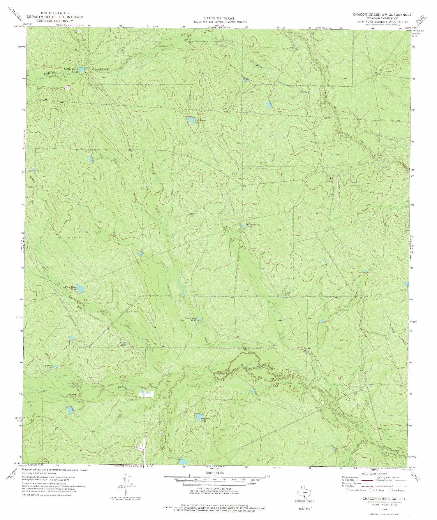
Satellite image topographic map of a portion of Texas from the United States Geological Survey (USGS) project. The map includes towns, historic or notable sites, bodies of water, and other geologic features. Scale 1:24,000
Reference the current side of this Map.
Chacon Creek Southwest Quadrangle, map, 1974; Reston, Virginia. (https://texashistory.unt.edu/ark:/67531/metapth105612/m1/1/: accessed April 26, 2024), University of North Texas Libraries, The Portal to Texas History, https://texashistory.unt.edu; crediting UNT Libraries Government Documents Department.