Heritage, Volume 14, Number 1, Winter 1996 Page: 19
30 p. : ill. ; 28 cm.View a full description of this periodical.
Extracted Text
The following text was automatically extracted from the image on this page using optical character recognition software:
EL PASO, IN COOPERATION WITH THE
CITY Of SOCORRO AND THE COUNTY Of
EL PASO, IS CURRENTLY IMPLEMNTING A
MISSION TRAIL ENHANCEMENT
PROGRAM THAT WILL (ONTRIBUTE TO
HISTORICAL LANDSCAPING AND
REHABILITATION Of HISTORICAL
STRUCTURES ALONG THE MISSION TRAIL
FROM YSLETA TO SAN ELIZARIO.
sive alternative to leaving the area, and
despite the unfulfilled promises of roads
and water and wastewater, the colonias
were attractive to people with the skills
and the energy to construct owner-built
homes and adapt to alternative infrastructure
and an informal economy. In fact,
except for the differences in available materials,
today's colonia housing shares much
with Spanish Colonial approaches; mobile
homes now form the core of expandable
unit construction that previously was all
adobe and jacal. Even dooryard gardens are
now flourishing after ten or more years in
some of the older colonias.
Census takers have been frustrated by
the resilience and the creativity of the
binational, multi-cultural communities of
the Lower Valley; state bureaucracies have
floundered in their well-meaning but often
inept attempts to provide assistance. For
example, bonds approved in 1989 for water
and wastewater projects have only very
recently begun to be implemented, in contrast
to local efforts and agencies that have
pasted together other funding sources and
self-help to expand municipal services in
the meantime.
The backdrop to this economic malaise
is an historical landscape that is rapidly
changing. In response to its increasingly
urban development, historical districts have
been organized to preserve the veneer of
the Camino Real. Within 300 feet of either
side of Socorro Road, and in somewhat
larger globes of protection surrounding the
missions of Ysleta and Socorro and the
Presidio Plaza at San Elizario, there are
protective ordinances that are broadly supported
but often irritating to district residents.
When a family invests its savings
and commits to payments for a contract for
deed and a note on a mobile home, they are
crushed to find themselves in a Kafkaesque
emplotment. Or one widow who put her
savings into a chain link fence to keep her
young children from the busy traffic of
Socorro Road was chagrined to find that
she had to replace it with a wooden or
wrought iron or, as she called it, a "twig
fence". These are cruel ironies of historical
preservation.
San Elizario will never be Santa Fe,
thankfully. For one, residents lack the
median income, and additionally, the area
is without the ski runs and charm of the
northern pueblos and their dramatic prehistoric
siting. But the two places do share
one connection with northern New
Mexico. The Tigua tribe are steadfastly
appealing the delays and rejections of their
gambling compact with the State of Texas.
As their recent success with bingo and slot
machines demonstrates, the road to economic
recovery for the Lower Valley may
well begin with the Tigua Casino, which is
proposed for a major intersection along
Interstate 10 outside Socorro. Their Speaking
Rock Casino, restaurant, and newly
opened Cultural Center with shops and a
cafe are the only thriving tourist businesses
along Socorro Road.
Despite (or maybe because of) Judge
Marquez's recent courts of inquiry, the
state has given some support to the region.
The Texas Department of Transportation
(TXDOT), target of much of the inquiries'
I
* \ eo c*ar I
$ r > *<<^--
SW^ ftiZt<1l
thrust, has in fact awarded two grants from
the ISTEA, or Highway Enhancement Fund
established by the federal intermodal transportation
program. El Paso, in cooperation
with the City of Socorro and the County of
El Paso, is currently implementing a Mission
Trail Enhancement program that will
contribute to historical landscaping and
rehabilitation of historical structures along
the Mission Trail from Ysleta to San Elizario.
In a separate grant, TXDOT supported
the UTEP-San Elizario Plaza Archaeological
Field School, which has provided invaluable
documentation for the interpretation
and rehabilitation of the Spanish Colonial
Presidio, which was built here in
1789 after a spurious start downstream near
Porvenir, Chihuahua, in 1774. The new
location coincided with a shift toward appeasement
of the raiding Apache who were
occasionally resident at the new Presidio
from the 1790s until Mexican Independence
in 1821. As many as 1,000 Apache
sometimes camped at San Eli in order to
receive livestock, blankets, guns (albeit
surplus items), gunpowder, and other supplies.
The Apaches de Paz effectively coopted
the Apache for these 30 years, a feat
that previous and subsequent campaigns
failed to accomplish. The Presidio was only
fitfully used from 1821 by the Mexicans,
and, in 1847 when United States troops
occupied the area, the walls and the church
were in ruins. William Bartlett sketched
the abandoned church and Presidio in 1852
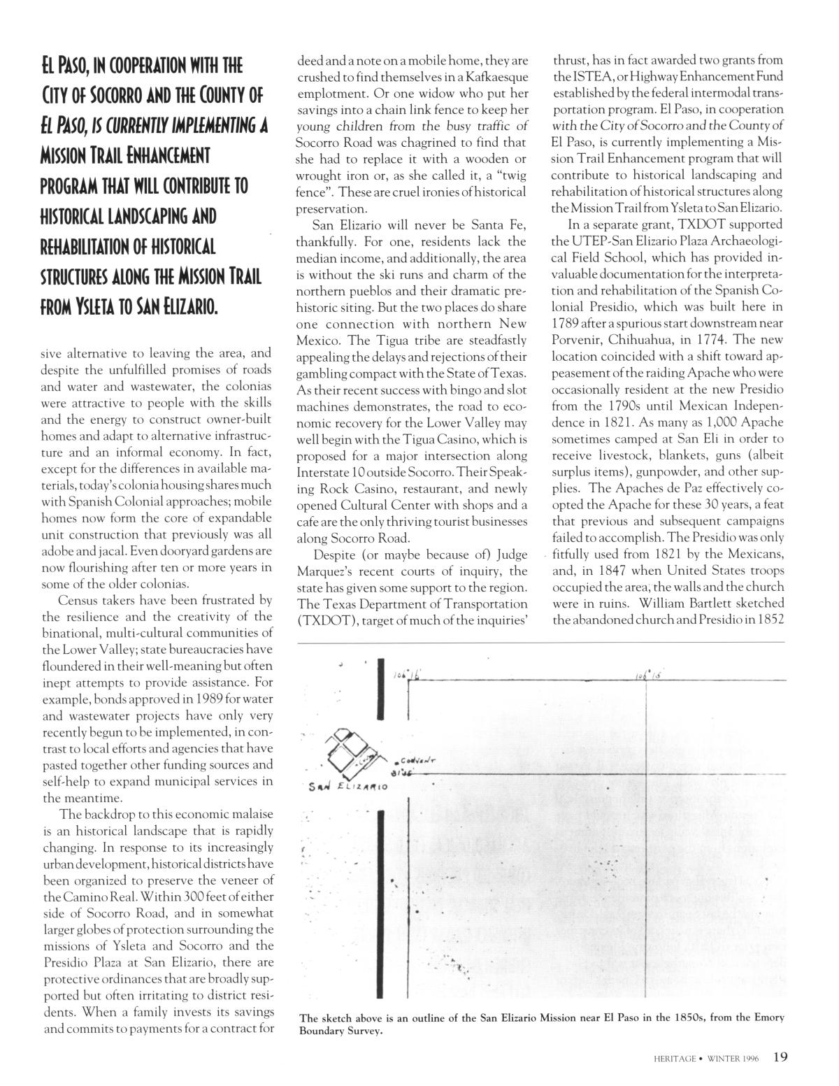
1850s, from the Emory
The sketch above is an outline of the San Elizario Mission near El Paso in the
Boundary Survey.
HERITAGE * WINTER 1996 19
_ _ _ I __
i
r I
r
f
*' ;
Upcoming Pages
Here’s what’s next.
 20 of 32
21 of 32
22 of 32
23 of 32
20 of 32
21 of 32
22 of 32
23 of 32
Search Inside
This issue can be searched. Note: Results may vary based on the legibility of text within the document.
Tools / Downloads
Get a copy of this page or view the extracted text.
Citing and Sharing
Basic information for referencing this web page. We also provide extended guidance on usage rights, references, copying or embedding.
Reference the current page of this Periodical.
Texas Historical Foundation. Heritage, Volume 14, Number 1, Winter 1996, periodical, Winter 1996; Austin, Texas. (https://texashistory.unt.edu/ark:/67531/metapth45404/m1/19/: accessed April 25, 2024), University of North Texas Libraries, The Portal to Texas History, https://texashistory.unt.edu; crediting Texas Historical Foundation.